
Buying Mountain Land And Acreage Near Deep Gap
May 14, 2026
May 14, 2026
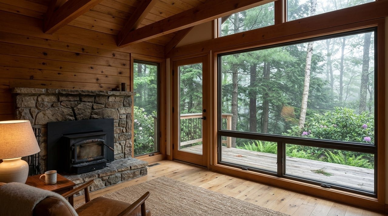
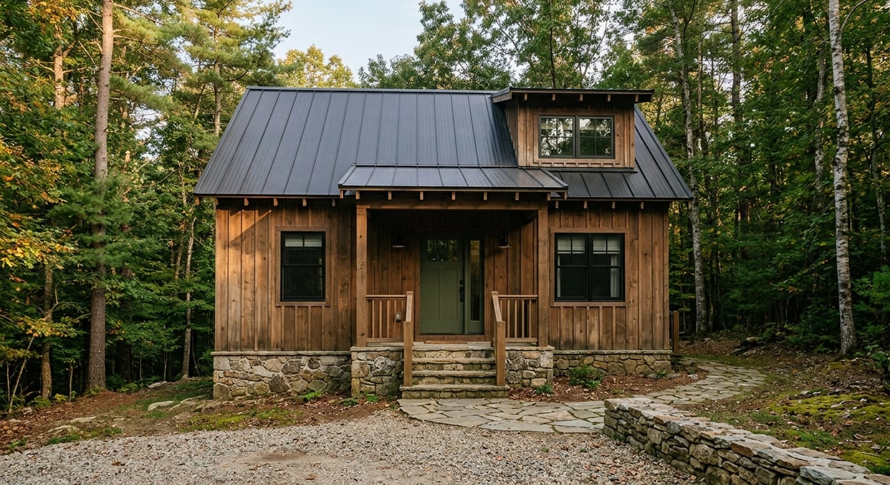
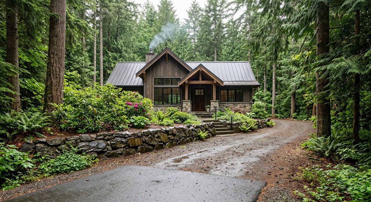
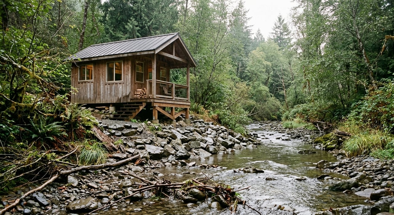
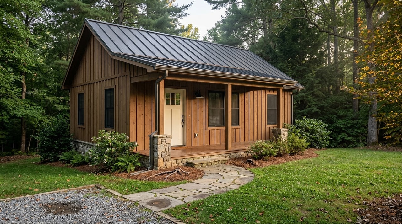
Buying mountain land near Deep Gap can feel exciting right up until you realize that two tracts with the same acreage can have very different road access, permit needs, and build potential. If you are dreaming about a cabin site, recreational getaway, or long-term land investment, you need more than a pretty view and a property line on a map. This guide will walk you through the practical checks that matter most in Deep Gap so you can move forward with more confidence. Let’s dive in.
Deep Gap is a rural part of Watauga County, and county planning materials include a Deep Gap Gateway Corridor Strategy. That is a good reminder that land here should be evaluated parcel by parcel, not by broad assumptions about the area. Access, slope, and the permit path can change quickly from one tract to the next.
When you buy mountain acreage, buildability is not just about size. A large parcel may still have limits tied to road frontage, steep ground, floodplain areas, watershed rules, or septic feasibility. In a place like Deep Gap, the smartest buyers focus on what the land can realistically support.
Watauga County Planning and Inspections handles zoning, subdivision review, erosion control, watershed rules, and floodplain regulation. The county also publishes planning ordinances and hazard resources that can help you understand what may apply to a specific parcel. That makes planning review one of the first steps in your due diligence.
County permit forms show that a tract may need separate review for zoning, watershed, floodplain development, plat submission, grading, and related approvals. In simple terms, your intended use matters just as much as the land itself. A recreational tract held for the future may have a very different review path than a parcel you want to build on right away.
Watauga County also has specialized zoning history, including the Foscoe-Grandfather zoning district and watershed protection ordinances. That means you should not assume one set of countywide rules applies everywhere. Before you buy, confirm whether the property falls within any special district or overlay.
Access is one of the biggest make-or-break issues for mountain land. In Watauga County, the North Carolina Department of Transportation road-maintenance map is a key source for figuring out whether a road is state maintained. If a road does not appear as state maintained, it may be private or maintained by another entity.
That distinction matters because private access often comes with private responsibility. NCDOT says it does not maintain paved driveways and does not clear driveways or driveway entrances during snow events. If your tract depends on a private road or steep driveway, you should plan for grading, drainage work, culvert upkeep, and winter access challenges.
If a parcel will connect to a state highway, a driveway permit is required. NCDOT states that anyone developing, redeveloping, changing use, or altering access to the state highway system must obtain a driveway permit. Watauga County zoning forms also flag this issue for commercial development and new subdivisions.
Access is not just about convenience. It also affects whether a property can support a legal address and practical emergency response. Watauga County’s E-911 addressing program exists to create permanent road addresses and improve emergency response.
For buyers, that means it is wise to confirm that the road and driveway layout can support year-round access and proper addressing. A remote tract may look great online, but you want to know how it works in real life before you commit.
Steep land is part of the appeal of mountain property, but it also brings real site-planning concerns. The North Carolina Geological Survey says landslides are most common in the mountain region because of steep slopes. Heavy rain, hurricanes, freeze-thaw cycles, and some human activities can all play a role.
Watauga County publicly lists landslide-hazard maps and flood protection resources. If a parcel has steep cut areas, hollow ground, or creek-bottom features, check those resources before you spend money on plans or engineering. A beautiful ridge tract can still have costly site constraints if the usable building area is smaller than it first appears.
Not every land issue is obvious from the road. Lower ground near creeks, drainage channels, or broad hollows can carry floodplain concerns that affect where and how you build. Watauga County uses a floodplain development permit for regulated floodplain work, which is why early map review matters.
This does not mean every creekside tract is unusable. It means you should understand where the constrained areas are before making decisions about homesites, driveways, or outbuildings. Early review can save time and money later.
Soils can tell you a lot about whether mountain land is likely to work for your plans. The USDA Natural Resources Conservation Service says soil surveys help identify shallow bedrock, wet soils, flood-prone areas, and other limitations for septic or building use. For acreage buyers, that makes soil review one of the best early screening tools.
A parcel can look ideal on paper and still be difficult on the ground. If slope, drainage, setbacks, and soil conditions leave no practical septic field or driveway grade, the tract may not fit your intended use. That is why experienced land buyers review topography and soils before they get attached to a listing photo.
In much of Watauga County, municipal sewer is not available, so septic becomes a key part of land due diligence. AppHealthCare’s Environmental Health program handles septic-system permitting and inspection questions in the area. If you plan to build, you will want to understand whether the property can support a septic system in a workable location.
Water matters too. North Carolina requires newly constructed private wells to be tested before they are used for drinking water. If a tract will rely on a private well, that is another reason to think through site layout early.
Some Deep Gap acreage has value beyond a homesite. NC State Extension notes that forestland can be managed for profit, recreation, aesthetics, and wildlife habitat. If a tract has merchantable timber, its timber value and raw land value should be considered separately.
If timber is a meaningful part of the purchase, NC State Extension and the NC Forest Service point landowners toward consulting foresters and timber-sale resources. An independent forester can help estimate timber volume, market timing, and possible harvest implications. That can be especially helpful if you are comparing several larger tracts.
If you are buying land as working timberland, agricultural ground, or a long-term holding, property taxes may deserve a closer look. Watauga County tax forms include an application for agriculture, horticulture, and forestry present-use value assessment. North Carolina’s present-use value program can reduce the property-tax burden for qualifying land.
That said, eligibility rules matter. Deferred taxes may be triggered if the parcel later loses qualifying status. Before you close, ask whether the tract is currently in present-use classification and whether any deferred taxes are attached.
Mountain land buyers usually do best when they follow a repeatable process. In Deep Gap, that process should go beyond price per acre and scenic appeal. The goal is to confirm whether the tract fits your plans, your budget, and your comfort level.
Here is a practical checklist to use before you close:
Deep Gap land deals often involve several moving parts at once. You may need answers from county planning, health department staff, NCDOT, a surveyor, and sometimes a forester. The challenge is not just gathering information. It is knowing which questions to ask before you spend money in the wrong place.
That is where local experience can make a real difference. In mountain land transactions, the biggest savings often come from spotting an access issue, a septic limitation, or a regulation conflict early. A practical, local-first approach helps you focus on the parcels that truly fit your goals.
If you are considering land or acreage near Deep Gap, A-1 Mountain Realty can help you sort through the details, narrow down the right options, and move forward with clear next steps.
Stay up to date on the latest real estate trends.

We pride ourselves in providing personalized solutions that bring our clients closer to their dream properties and enhance their long-term wealth. Contact us today to discuss all your real estate needs!

PHYSICAL ADDRESS: 1 N Jefferson Ave West Jefferson NC 28694 MAILING ADDRESS: PO Box 828 West Jefferson NC 28694